€750
With Fine Hand Coloured Maps
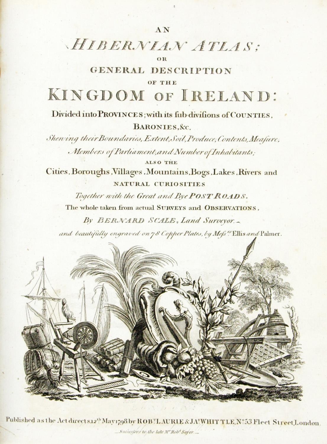
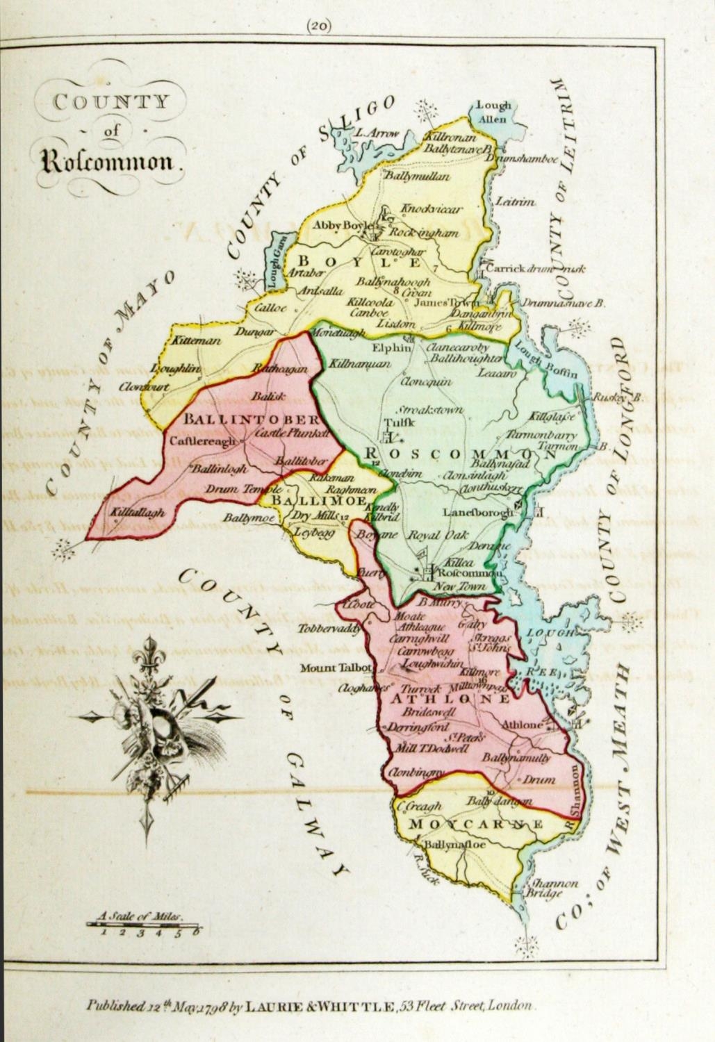
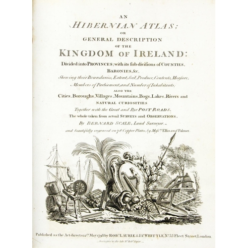
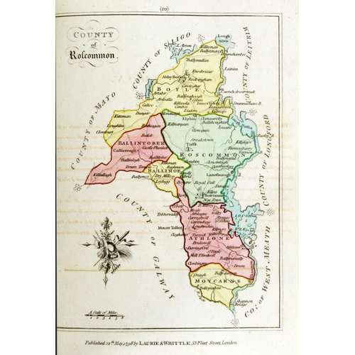
Scale (Bernard) An Hibernian Atlas; or General Description of the Kingdom of Ireland, Divided into Provinces; with its sub-divisions of Counties, Baronies etc., 4to Lond. (Rob. Laurie & Jas. Whittle) 1798. First Edn., Engd. title, dedit, preface & index, hand cold. engd. map of Ireland, & 36 maps of Provinces & Counties of Ireland, orig. boards, later reback & mor. label. V. good copy. (1)
Fees apply to the hammer price:
Room and Absentee Bids:
25% inc VAT*
Online and Autobids:
28.075% inc VAT*
+353 (0)56 4441229
[email protected]