€210
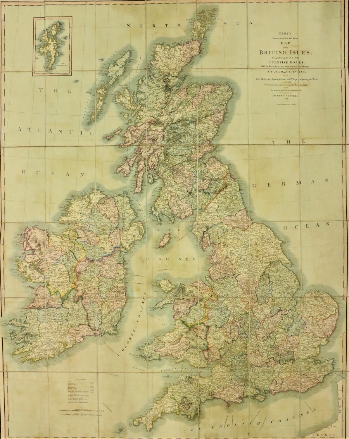
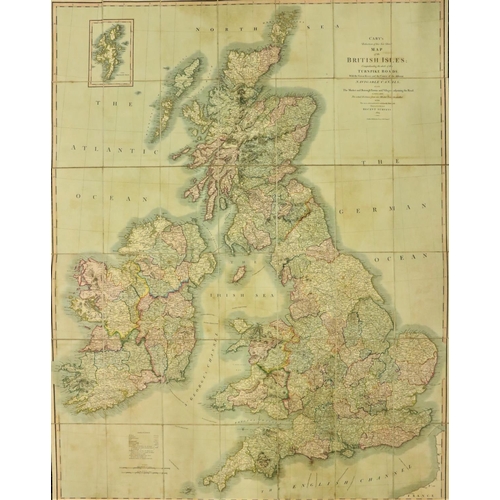
Map: Cary (John) Map of the British Isles; Comprehending the Whole of the Turnpike Roads... Navigable Canals... From the most Recent Surveys. Reduction of his Six Sheet Map. Lg. fold. linen backed map, fully hand-coloured, approx. 39" x 50" (99cms x 127cms), London 1824. In orig. slipcase, with ptd. label. V. good. (1)
Fees apply to the hammer price:
Room and Absentee Bids:
23% inc VAT*
Online and Autobids:
26.075% inc VAT*
23% inc VAT*
*These fees include buyers premiums and internet surcharges.+353 (0)56 4441229
[email protected]